Rainfall Data
ACCESS TO THE DATABASE
View MSD's Rainfall Data System
OVERVIEW
MSD maintains a rainfall information system, which is comprised of a network of rain gauges and radar-rainfall data.
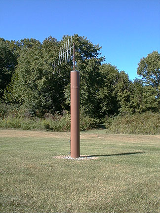
The rain gauges are situated throughout Hamilton County and report measured rainfall from these locations. The radar-rainfall data, which are estimates of rainfall from 1 kilometer by 1 kilometer grids covering the entire county, address the spatial variation in precipitation between the rain gauges. Measurements from the rain gauges are used to calibrate the radar-rainfall data.
The calibrated radar-rainfall data provides more accurate rainfall amounts in all parts of the county than could be derived from either source alone. This calibrated data is used by MSD in many different ways, including sizing new sewer projects using computerized models of the sewer system and correlating precipitation with overflows.
While real-time rainfall data is used for some operational needs, MSD also expects to develop capabilities through its Smart Sewers to use real-time rainfall information to predict overflows and make operational changes on the fly.
